
This is the third of a series of articles describing the college’s sociotechnical research impact areas.
Purdue Polytechnic researchers are working with stakeholders in both public and private sectors to solve challenges in cybersecurity and critical infrastructure that affect global economics, security and health.
Faculty with expertise in autonomous systems, cybersecurity, human factors, physical safety, sustainability, systems and networks, and transportation are collaborating to provide law enforcement agencies with tools for faster, more efficient incident response. They also aim to lower the number of cyberattacks, lessening their impact to victims, and to enact evidence-based policies that contribute to safety and security.
“With globalization and the development of new technologies and capabilities, our safety and security are increasingly at risk,” said Steve Elliott, professor of computer and information technology. “By finding holistic sociotechnical solutions to these possibilities, we can build safety and security into our approaches and define a better tomorrow.”
Current projects
![]() Projects have focused on modernizing digital forensics tools used in law enforcement, designing new sensors for airports and developing drones capable of gauging the threat of unknown gaseous plumes.
Projects have focused on modernizing digital forensics tools used in law enforcement, designing new sensors for airports and developing drones capable of gauging the threat of unknown gaseous plumes.
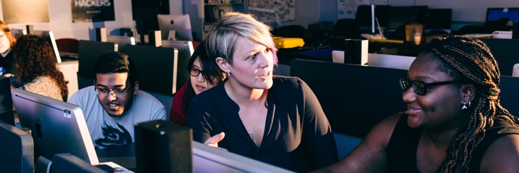
Law enforcement agencies have been relying on forensics tools not well suited to today’s digital world. To provide a modern, cost-effective solution, a research team led by Kathryn Seigfried-Spellar, assistant professor of computer and information technology, is building File Toolkit for Selective Analysis & Reconstruction (File TSAR) for Large Scale Computer Networks.
“We want to be able to present digital evidence the way it looked in real time at the moment it was created or transmitted,” Seigfried-Spellar said. “The goal is to show things visually as they appeared or how things are linked between person A and person B.”
To improve the management of winter weather conditions at airports, a student team proposed adapting remote sensing technologies currently being used for monitoring glaciers, ski resorts and parking lot snow conditions for use on runways. The novel approach was developed by Ting Xu, Anthony Petraglia, Yingdian Zhu and Ping-Tse Cho.
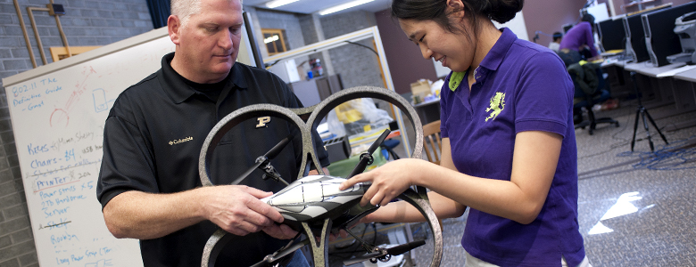
Eric Matson, associate professor of computer and information technology, and colleagues developed technology that provides better safety for first responders when dealing with gaseous plumes. An unmanned aerial vehicle system with an organic gas sensor can fly into a plume at the site of a tanker accident on a highway, for example, to measure the plume’s gas densities and types.
“It can send back data about the chemical make-up, and it can trace where the plume might be going,” Matson said. “That’s especially important if there is a hospital, school or daycare downwind.”
Additional information:
- Purdue Polytechnic’s Holistic Safety and Security research projects receive national attention, funding (2021-2022 update)
- Purdue Polytechnic research impact areas
- Holistic Safety & Security
- CIT faculty aim to make big data a small issue for law enforcement
- Two student teams score wins in Airport Cooperative Research Program design competition
- RICE technologies extend first responders' reach